|
|
|
The images below are provided out of personal interest only and quickly become out of date - check the appropiate links on my Current Tropical Cyclone Information page for up to date details and images.
They are small - click on any image for the full resolution version.
Those marked 'ir' are INFRARED images and 'vis' are VISIBLE LIGHT images issued with JTWC warnings colour highlighted to show details - those marked 'viw' are cropped from multi-spectral composites merged from greyscale full disk VISIBLE (red channel), INFRARED (green channel), and WATER VAPOUR (blue channel) images from JTWC.
TYPHOON DURIAN (05W) IMAGE INDEX
2001-06-29 02:31 viw
2001-06-29 07:30 vis
2001-06-29 23:30 vis
2001-06-30 02:31 viw
2001-06-30 11:30 ir
2001-06-30 23:30 vis
2001-07-01 02:31 viw;
2001-07-01 11:30 ir
2001-07-01 23:30 vis
2001-07-02 02:31 viw;
2001-07-02 11:30 ir
2001-07-02 17:30 ir
Index | Top
* DURIAN 2001-06-29 02:31 UTC viw *
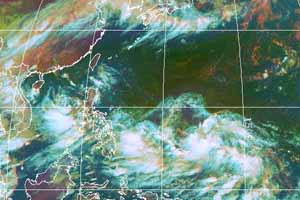
(Click on image for full size version)
Next | Index | Top
* DURIAN 2001-06-29 07:30 UTC vis *
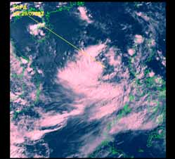
(Click on image for full size version)
Next | Previous | Index | Top
* DURIAN 2001-06-29 23:30 UTC vis *
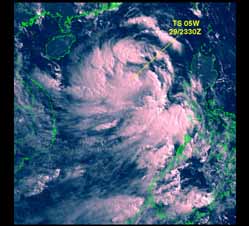
(Click on image for full size version)
Next | Previous | Index | Top
* DURIAN 2001-06-30 02:31 UTC viw *
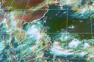
(Click on image for full size version)
Next | Previous | Index | Top
* DURIAN 2001-06-30 11:30 UTC ir *
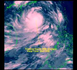
(Click on image for full size version)
Next | Previous | Index | Top
* DURIAN 2001-06-30 23:30 UTC vis *
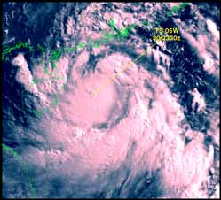
(Click on image for full size version)
Next | Previous | Index | Top
* DURIAN and 06w 2001-07-01 02:31 UTC viw *
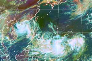
(Click on image for full size version)
Next | Previous | Index | Top
* DURIAN 2001-07-01 11:30 UTC ir *
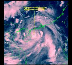
(Click on image for full size version)
Next | Previous | Index | Top
* DURIAN 2001-07-01 23:30 UTC vis *
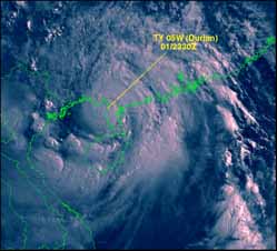
(Click on image for full size version)
Next | Previous | Index | Top
* DURIAN and UTOR 2001-07-02 02:31 UTC viw *
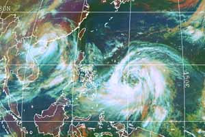
(Click on image for full size version)
Next | Previous | Index | Top
* DURIAN 2001-07-02 11:30 UTC ir *
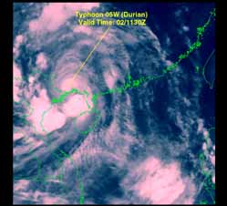
(Click on image for full size version)
Next | Previous | Index | Top
* DURIAN 2001-07-02 17:30 UTC ir *
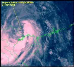
(Click on image for full size version)
Previous | Index | Top
Downloadable Tropical Cyclone Tracking Maps
Australia and Hong Kong
© C.B.Smith 1999 - 2000 - 2001. All users of any map, image, or other information on these Web pages are deemed to have read and accepted the conditions described on the Copyright Information and Disclaimer page.
Feedback: carls@ace-net.com.au | Return to Main Menu