|
|
|

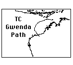
TC Gwenda Regional Map - a regional map of the path of TC Gwenda.

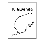
TC Gwenda Local Map - a Broome to Port Hedland Local area map of TC Gwenda.
TC Gwenda became a very destructive Category 5 cyclone, moved into unfavourable conditions, and weakened to Category 2 before crossing the coast just east of Port Hedland, were it remained stationary for many hours and degenerated into a rain depression. This shows how just how fast a cyclone can grow to be a very serious threat, yet, just as fast, diminish in intensity to be only a moderate cyclone by the time it made landfall.
Maintained by Carl Smith.
carls@ace-net.com.au
© Carl Smith 1999 - 2000. All maps, images, and other information on these Web pages is copyright, either by Carl Smith, or by the agencies that produce the satellite images and other weather related information, as indicated in each case. It is essential to obtain permission in writing from the copyright owner before reproducing any of the information on this website in any form whatsoever except for fair purposes of review as permitted under copyright legislation.
DISCLAIMER: Carl Smith is not responsible or liable in any way whatsoever for the manner in which any person, group, or business, chooses to use the information in this website or the consequences thereof. Whilst all due care is taken to ensure the accuracy of the information contained herein, there may be errors, and the information here is not necessarily up to date. All persons are reminded that it is essential to obtain current information from relevent authorities regarding current or potential cyclones.