|
|
|
Acknowledgements
The original satellite images used for the GIF files on this page were downloaded from The Bureau of Meteorology, Australia, Web site at http://www.bom.gov.au.
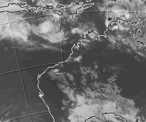
They were sourced from the Geostationary Meteorological Satellite (GMS 5) of the Japan Meteorological Agency (JMA). The Commonwealth of Australia (Bureau of Meteorology) received and processed the GMS-5 images.
The images supplied are 12 kilometre resolution 640x512 pixel Lambert conformal
projections at 5 bits per pixel. Extracts of these were used to make the animated GIF files.

Maintained by Carl Smith.
carls@ace-net.com.au
© Carl Smith 1999 - 2000. All maps, images, and other information on these Web pages is copyright, either by Carl Smith, or by the agencies that produce the satellite images and other weather related information, as indicated in each case. It is essential to obtain permission in writing from the copyright owner before reproducing any of the information on this website in any form whatsoever except for fair purposes of review as permitted under copyright legislation.
DISCLAIMER: Carl Smith is not responsible or liable in any way whatsoever for the manner in which any person, group, or business, chooses to use the information in this website or the consequences thereof. Whilst all due care is taken to ensure the accuracy of the information contained herein, there may be errors, and the information here is not necessarily up to date. All persons are reminded that it is essential to obtain current information from relevent authorities regarding current or potential cyclones.